On the 26th of May, 2026, was held an excursion, organized by the Erasmus Mundus Joint Master programme Copernicus Digital Earth (CDE), to the data centers of Earth Observation Data Centre (EODC) and the United Nations Office for Outer Space Affairs (UNOOSA), the offices of which are located in Vienna, Austria. The aim of the excursion was to familiarize students with the data centers supporting the Copernicus satellite data ecosystem, whose backend infrastructure is managed and supported by EODC, and to provide knowledge in the functions of the UNOOSA.
EODC is a private company, funded partially by the Technical University of Vienna (TU Wien) and GeoSphere Austria, and provides services supporting the Copernicus data infrastructure using its in-office data centers and distributed computing workflows.

The United Nations Office for Outer Space Affairs is an office of the UN that works to help all countries, especially developing countries, access and leverage the benefits of space to accelerate sustainable development. They work toward this goal through a variety of activities that cover all aspects related to space, from space law to space applications.
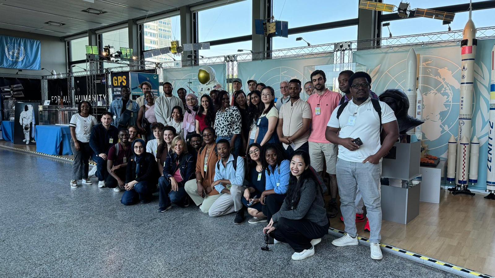
Objectives of this excursion, as mentioned above, was to familiarize students in the geospatial arena with the physical infrastructure that supports their staple workflows, and efforts by international organizations, like UNOOSA, to regulate and make accessible the above workflows across developing countries.
My personal objectives during this excursion, however, comprised the intent to better understand what infrastructure lies beneath the usual geospatial processes that we, as geospatial students and engineers, so often utilize with the Copernicus platform, and to better understand the UN’s functions when it comes to geospatial data and space law. Owing to this, I expected to gain a great deal of fundamental knowledge in physical data infrastructure and policy surrounding satellite data usage.
Upon reflection, what emerges as a notion regarding EODC is that the world-famous Copernicus ecosystem runs on a few splinters of data centers in comparison to data providers in other research areas, social networks and even small businesses, and the resulting conclusion is that the idea that better cloud-optimized programming workflows is a necessity becomes even clearer, and explains the demand for and rise of various new developments in the geospatial sector, namely the increased use of Zarr, datacubes and the strong focus on being “optimized for use”. With comparatively small data center infrastructure, demand for the above rises.
With regards to the UNOOSA, a clear picture emerged in that the unit is under-funded, which is exacerbated by countries’ less-than-ideal amount of focus on the importance of geospatial analysis. Despite geospatial data, especially that of Landsat and Sentinel, being universally utilized and integral to geospatial analysis, the distribution of knowledge concerning the use of geospatial datasets is unevenly distributed across countries, an experience that I can attest to as having worked in the Mongolian geospatial field. There is a dire need for geospatial processes in the country to follow best practices and latest developments in the area, which, without policy adjustments and change, may not be possible. Despite the UNOOSA having consulted an unknown number of people for an unknown amount of time in Mongolia, the country has yet to see strong developments in the field or much traction with regards to best practices and policy change.
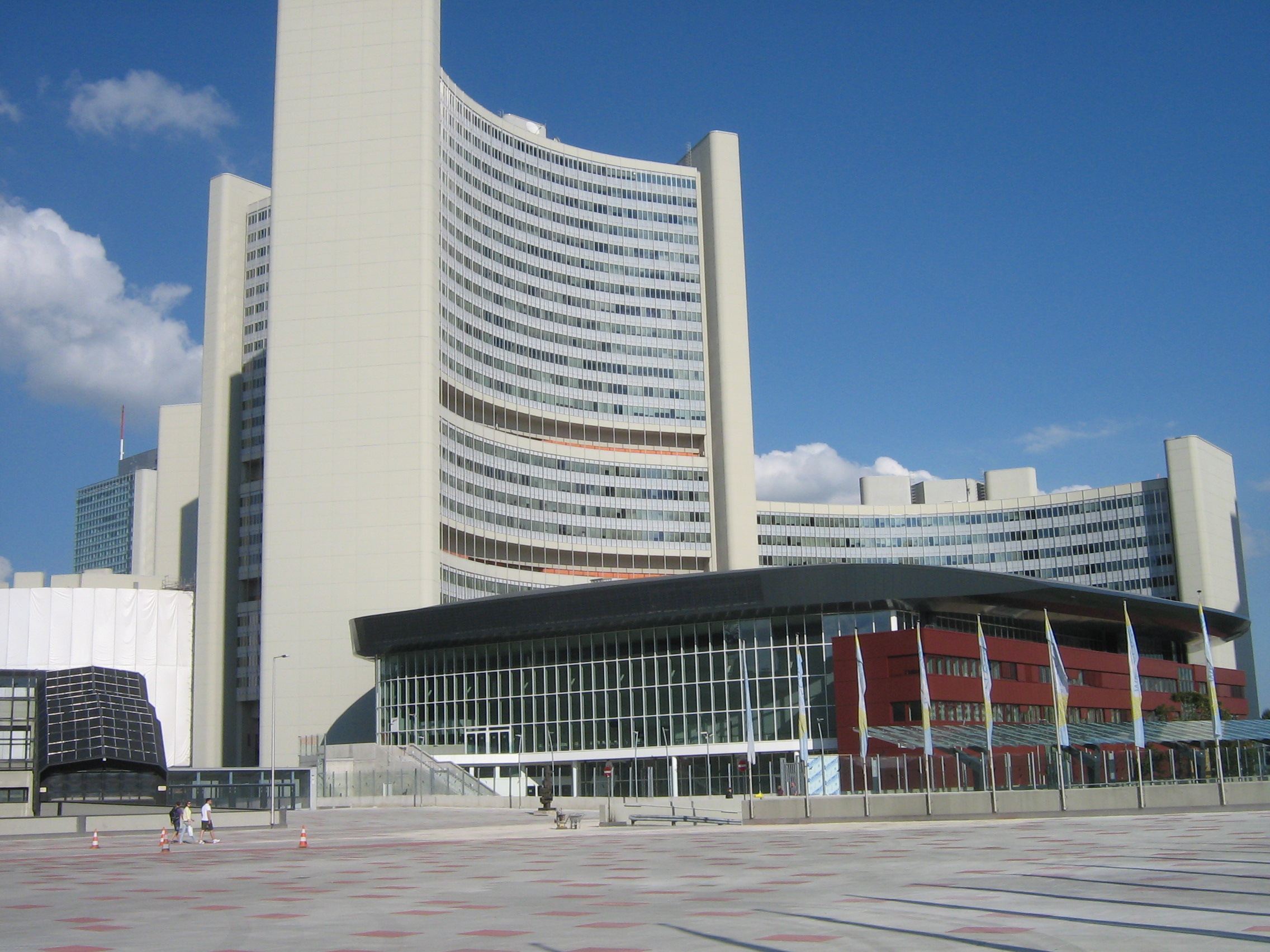
This brings me to the conclusion that the UNOOSA, when granted more funding and a stronger ability to influence policy as a result of being given a greater importance, could eventually be a key player in shaping how effectively geospatial data is used, and as a consequence, better assess the effects of climate change, its resulting or non-related disasters using geospatial data: one of the most potent tools the world has to keep an eye on things on the ground, leading to a better fulfillment of its own stated goals by the name of Sustainable Development Goals.